

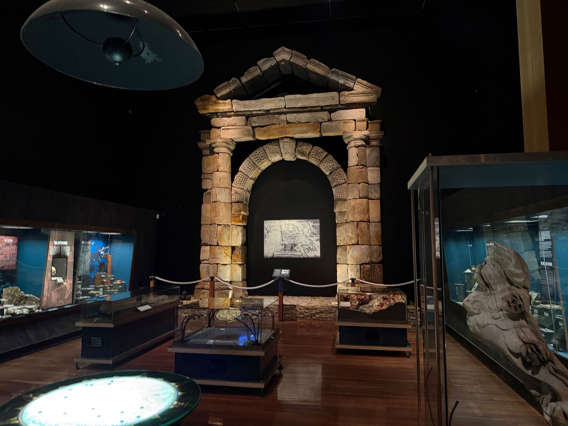
A Grand Gateway That Never Reached Its Destination
Story
A City Carved from Empire: Mapping Batavia
How a Dutch Trading Post Became the VOC’s Asian Stronghold
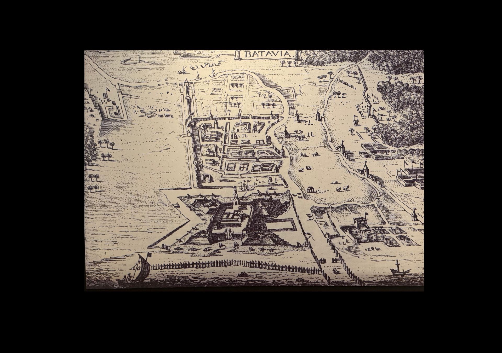
At first glance, this early map of Batavia looks like a European city placed, almost defiantly, on the shores of Southeast Asia. And in many ways, it was.
Batavia today known as Jakarta, was the crown jewel of the Dutch East India Company (VOC) in the East Indies. Founded in 1619 after the violent conquest of the port of Jayakarta, Batavia was designed not just as a trading hub but as a statement of Dutch ambition. The map reveals a rigid, geometric layout: a fortified city with straight roads, canals, and high walls, echoing the defensive style of Dutch towns back home.
In the bottom of the map sits the Castle of Batavia, a powerful fortress and administrative centre. From there, VOC officials controlled vast trade networks reaching across Asia, from India to Japan. Ships sailed in loaded with silver, textiles, and European goods, and sailed out again with spices, ceramics, timber, ivory, and tea.
This map reflects more than cartography, it reveals a worldview. It shows how European powers saw foreign lands as blank spaces to be ordered, fortified, and claimed. But Batavia was not an empty canvas. The map leaves out much: the Indonesian peoples displaced by its creation, the forced labour that sustained it, and the toll of colonisation.
For the VOC, Batavia was the gateway to unimaginable wealth. For the ill-fated Batavia, the ship that wrecked on the coast of Western Australia in 1629, it was a destination never reached.
MAKE IT YOUR OWN
The story continues.
THERE’S ALWAYS MORE TO DISCOVER
Keep exploring.
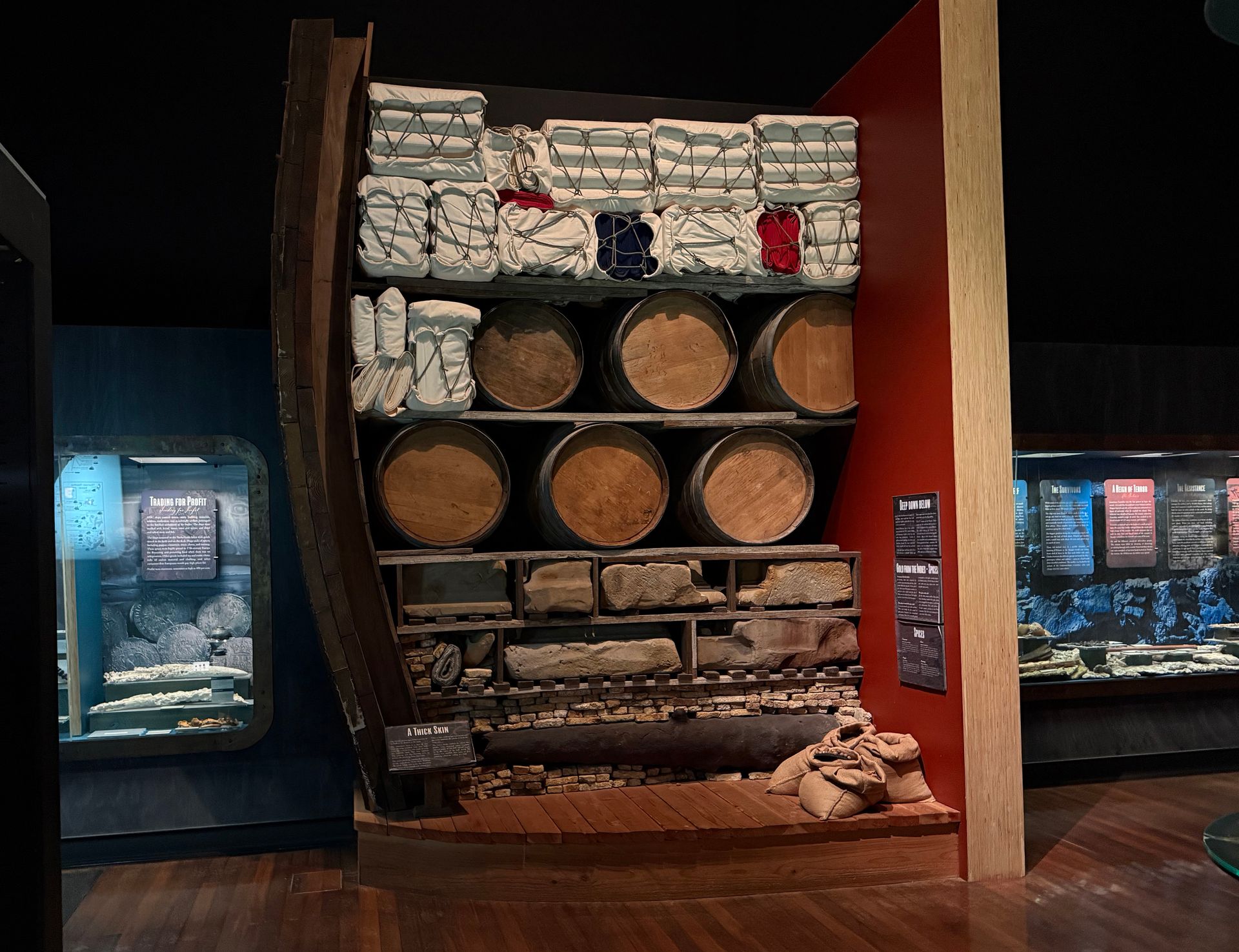
How the Batavia Kept the Ocean Out
A Thick Skin
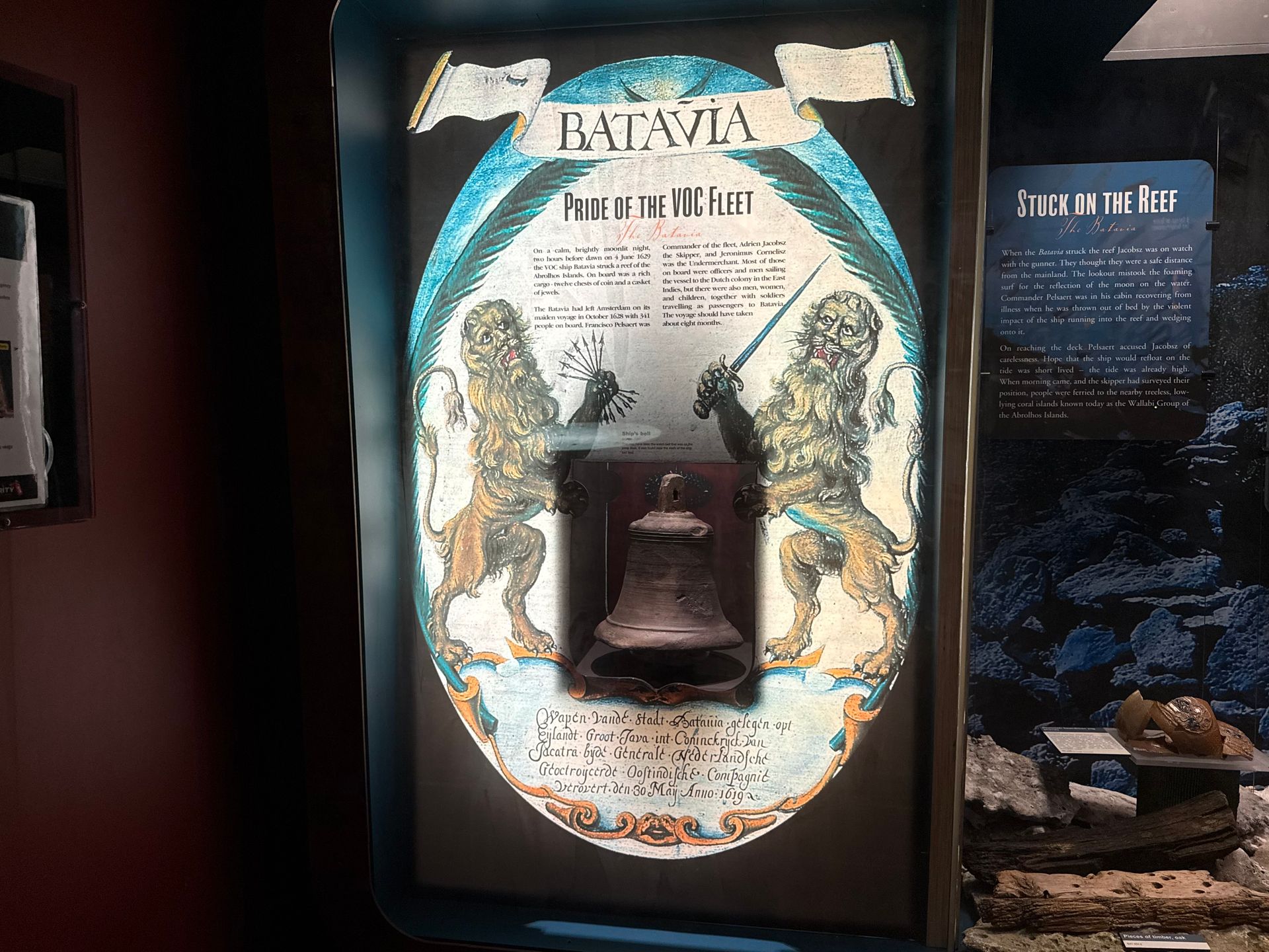
Echoes of a Doomed Voyage