

Collection
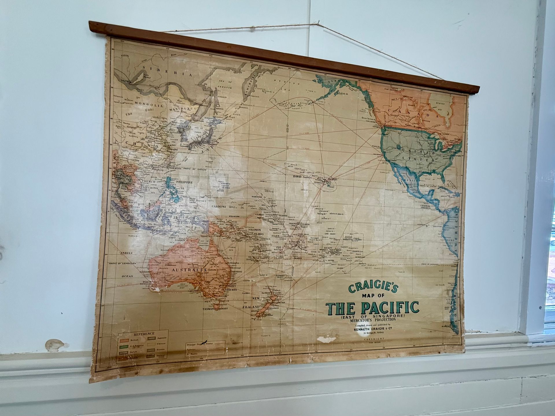
Craigie's Map of the Pacific
Exploring Pacific navigation history
Craigie's Map of the Pacific is a fascinating artifact displayed in our historical schoolroom exhibit. This map offers a glimpse into how the Pacific region, east of Singapore, was perceived and navigated in the past.
Visitors can explore this beautifully detailed map, which reveals the extensive knowledge and imagination of mapmakers of that era. It's a wonderful opportunity for families to discuss how exploration and mapping have evolved over time.
The map is an integral part of our schoolroom display, providing a context for learning about geography and history in an engaging way. Both adults and children can enjoy discovering the stories behind the map's creation and its role in education.
MAKE IT YOUR OWN