

Collection
Trade Routes of the East Indies
Navigating a Global Ocean
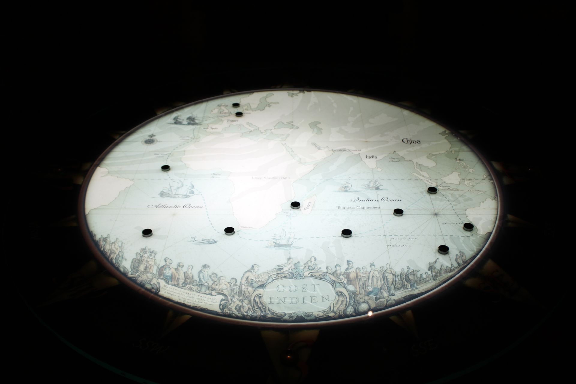
Centuries before planes or satellites, sailors relied on maps like this to navigate vast oceans. This beautifully detailed chart of the East Indies captures how European explorers and traders viewed the world in the age of sail.
From the tip of Africa to the coasts of India, China, and Southeast Asia, these sea routes were highways of trade and danger. Ships carried spices, silk, and precious cargo, but also risked storms, reefs, and the unknown. Many never made it home.
This map reminds us that every shipwreck has two stories: one beneath the sea, and one above it, of the people, ambitions, and journeys that set sail.
MAKE IT YOUR OWN